THEME
Dream tour
START
‘Munsterbilzen village’, Appelboomgaardstraat 6, 3740 Munsterbilzen. See Google Maps.
The information board is set up at the start point.
END
Same place
LENGTH
19 km
DIFFICULTY
Moderate (Wear sturdy footwear)
DESCRIPTION
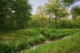
In the first section, you leave the village of Munsterbilzen and reach the forest ‘Munsterbos’. By walking next to the creek ‘Munsterbeek’ you pass the forest and some local attractions such as the Chapel ‘Kapel van het Geheim Leger’ and the Watermill ‘Zangerheidemolen’. After this passage, you walk through the forest of the ‘Bonijterbos’, with narrow paths. While crossing the ‘Albert’ Canal you walk to the natural area of the ‘Hoefaert’.
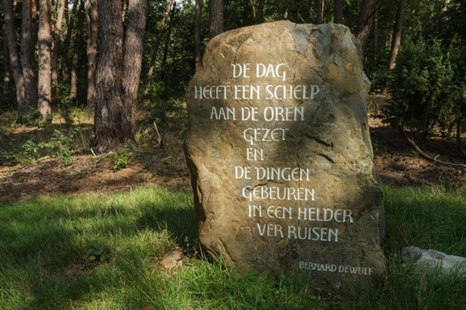
In the second section you continue walking in the Natural area of the ‘Hoefaert’, next to the lakes of the ‘Hoefaert’ and the creek ‘Munsterbeek’ you pass a beautiful old Beech tree (Fagus). The second part of this section runs through the forest of the ‘Roelerheide’.
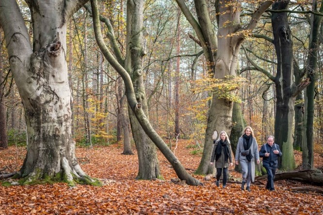
In the third section, you cross the creek ‘Bezoensbeek’ and reach a small butt beautiful landscape point of the ‘Bezoensberg’ with heathland and juniper. After this, you walk out of the valley into the forest of ‘Stelebos’, which is located on the plateau of the Hoge Kempen. At the end of this section, you pass the creek ‘Zutendalerbeek’ and a Watermill ‘Broekmolen’. After Passing the Albert Canal you reach again the creek ‘Zutendalerbeek’. At the end of this section, a rest area is located next to a memorial for World War 1.
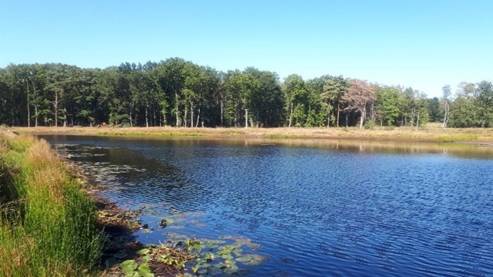
In the last section, you walk into the forest ‘Munsterbos’ while passing first the creek ‘Broekerbeek’ with narrow paths. A long alley brings you to a beautiful viewpoint over the lakes of ‘Munsterbos’. After reaching the Chapel ‘Sint Amorkapel’ you walk into the back into the direction of the village of Munsterbilzen.
MARKING
This trail is signposted with a Purple sign:

You can advantageously follow the route with a map, a GPS, or a smartphone.
See the links below for the options.
PURCHASING OPPORTUNITIES
You can buy a map at the National Park Visitor Center, Zetellaan 54, 3630 Maasmechelen.
OTHERS
The LQT-Day Walk ‘Top Trail Munsterbos’ was created in collaboration with Visit Flanders and the municipality of Bilzen.
LINKS
Komoot:
Outdooractive (Click on Learn More):


 Walk for unity & wellness!


