THEME
Dream tour
START
‘Mechelse Heide’, Gateway to the Hoge Kempen National Park
Joseph Smeetslaan 280, 3630 Maasmechelen
The information board is NOT yet set up at the start point.
END
Same place
LENGTH
12,6 km
DIFFICULTY
Moderate (Wear sturdy footwear)
DESCRIPTION
After leaving the starting point at the information shelter, you walk into the Pine forest ‘Mechels Bos’. This pine forest was planted by the coal mining industry to preserve enough wood yields to build mine galleries underground. At the tipping point of the mining industry in 1958 there were 7 coalmines in the Hoge Kempen present with over 60.000 active mineworkers. You can imagine that a lot of construction wood was needed. At the end of this section, you pass the ‘former mine station of Eisden’.This was the train station where mine workers jumped off the train to go to work in the coal mine. When the Mine was closed in 1987 the train station was out of use. Instead, a service point (Café De Statie) is present. Also in 2 former side buildings, there are brand new cabins that can be booked by hikers.

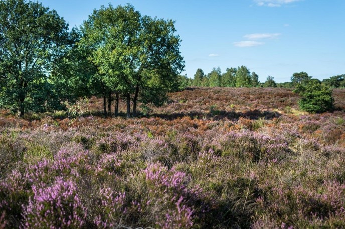
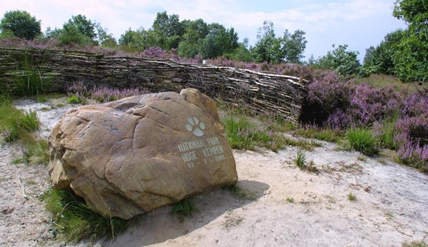
In the second section of the trail, you walk next to the historical railway ‘Kolenspoor’ that is not in use anymore since 1987. The railway is taken over by nature. The railway reminds us of the mining history of the Kempen. The trail continues through the Pine forest of ‘Mechels Bos’. After leaving the Pine forest ‘Mechels Bos’ you enter a different landscape of the ‘Mechelse Heide’. This heathland is the typical rural landscape of the Hoge Kempen. Before the mining industry (before 1900), this was the most common landscape of the Hoge Kempen that was used as common fields to herd sheep. In August, when the heathland flowers are purple the landscape scenery is the most beautiful. Walking through the heathland you pass a memorial opening stone that was placed in 2006 when the National Park Hoge Kempen officially opened. At the end of this section, you walk beside a lake, which is a former sand quarry. Here a first viewpoint is present.

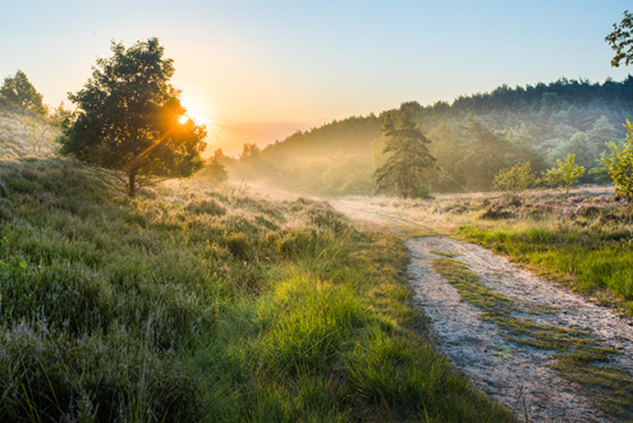
In the last section of the trail you also cross the landscape of the Mechelse Heide. The landscape changes several times from heathland to Natural Oak-Birch forest, while climbing up the highest natural point of the Hoge Kempen you see a stunning viewpoint at the top. After the viewpoint, there is a descending back to the starting point. While descending there is a beautiful view of the shaft towers and slag heaps of Terhills.

MARKING
This trail is signposted with a Purple sign:

You can advantageously follow the route with a map, a GPS, or a smartphone.
See the links below for the options.
PURCHASING OPPORTUNITIES
You can buy a map at the National Park Visitor Center, Zetellaan 54, 3630 Maasmechelen.
OTHERS
The LQT-Day Walk ‘Top Trail Mechelse Heide’ is made in collaboration with Visit Flanders and the municipality of Maasmechelen.
LINKS
Komoot:
Outdooractive (click on Learn More):


 Walk for unity & wellness!


