THEME
Dream tour
START
‘Commanderij Gruitrode’, Gateway to the Hoge Kempen National Park, Kasteelstraat 2, 3670 Oudsbergen. See Google Maps
The information board is set up at the start point.
Or
‘Camping Zavelbos’, local starting point, Kattebeekstraat 1, 3680 Maaseik. See Google Maps
END
Same place
LENGTH
14,4 km
DIFFICULTY
Moderate (Wear sturdy footwear)
DESCRIPTION
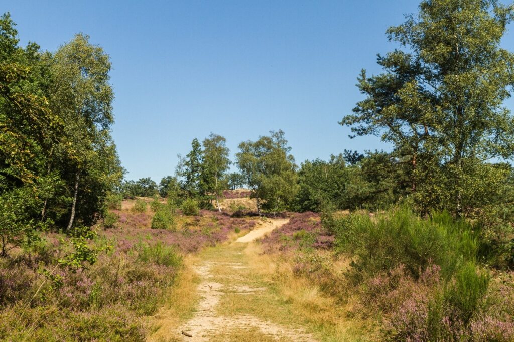
Starting from ‘Camping Zavelbos’ you pass land dunes with pine forest ‘Zavelbos’. While climbing you notice that your hike goes a little bit up and down, this is when you notice that you are hiking on a land dune. After the land dune, you pass the area of the ‘Meuren’, a small side valley of the creek ‘Bosbeek’. After this point, some beautiful viewpoints with heathland pop up out of the forest.
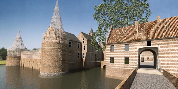
In the second section, you walk through ‘Gruitroderbos’ on your way to the ‘Commanderij of Gruitrode’. A mid-century moated castle that is renovated into one of the gateways to the National Park Hoge Kempen. This is also a starting point for this trail and a service point (De Kastelein) is nearby at 400m of the trail. When leaving the ‘Commanderij’ behind, you walk through an old castle alley related to the moated castle.

In the third section, you walk again through the forest of ‘Gruitroderbos’ in the direction of the land dune ‘Oudsberg’. Halfway through the section, you pass a Chapel ‘Kapel OLV Rust’ in the middle of the forest.
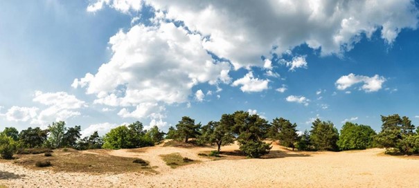
In the last section, you start to climb to the top of the open land dune ‘Oudsberg’. This is the most beautiful spot on this trail, with an old Oak tree at the top. If you look closely you notice that the roots are ‘naked’ because of the wind that blows the sandy soil away. At the top, you also have a viewpoint on the ‘Duinengordel’. The sand can make the climb and the descending of the Oudsberg quite difficult. On your way back to ‘Camping Zavelbos’ you pass again into the forested part of the land dune at ‘Zavelbos’. Here you find again a chapel in the middle of the forest ‘Mariaberg’.

MARKING
This trail is signposted with a Yellow sign:

You can advantageously follow the route with a map, a GPS, or a smartphone.
See the links below for the options.
PURCHASING OPPORTUNITIES
You can buy a map in the National Park Visitor Center, Zetellaan 54, 3630 Maasmechelen.
OTHERS
The LQT-Day Walk ‘Top Trail Duinengordel-yellow’ is made in collaboration with Visit Flanders and the municipalities of Oudsbergen and Maaseik.
LINKS
Komoot:
OutdoorActive (click on Learn more):


 Walk for unity & wellness!


