
THEME
Dream tour
START
‘Opoeteren village’, local starting point, Kerkplein Opoeteren, 3680 Maaseik (Opoeteren). See Google Maps.
The information board is set up at the start point.
END
Same place
LENGTH
13,6 km
DIFFICULTY
Moderate (Wear sturdy footwear)
DESCRIPTION
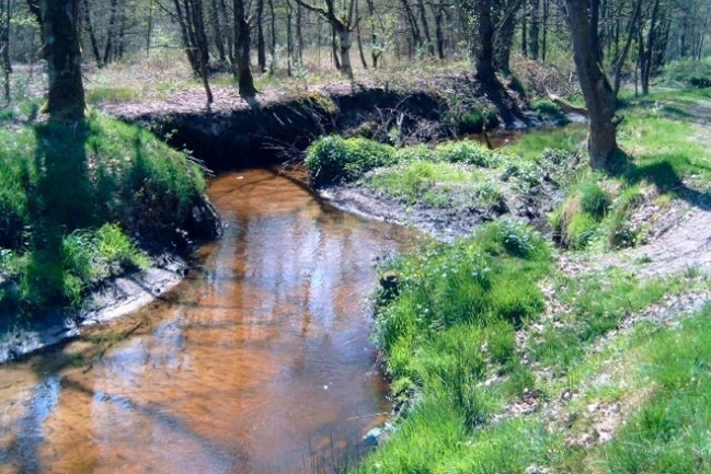
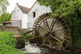
In the first section, you walk outside the Village of Opoeteren. After passing the creek ‘Bosbeek’ (14) and a Water Mill ‘Dorpermolen’, you walk uphill while leaving the Creekvalley of the ‘Bosbeek’ up to the Hoge Kempen Plateau. The landscape scenery changes between forest and meadows. In the second section, you walk along the steep edge of the Hoge Kempen. The main landscape type is forest. In the middle of the section,n the landscape changes into an open landscape type with heathland ‘Vossenberg’. At the end of the section you pass a chapel ‘Kapel van de Weerstand’.
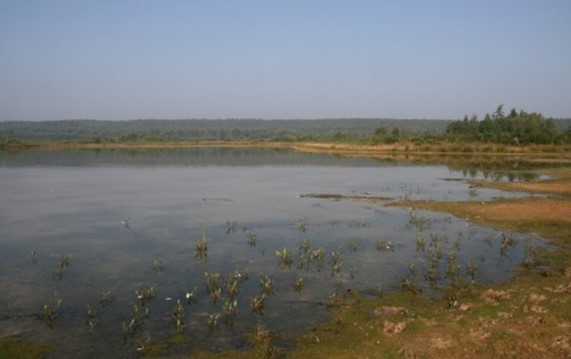
In the third section you reach the lake ‘Bergerven’. A panoramic view is present on the hill. After passing the lake, you pass a memorial reminding of Word War II. After this you climb up the Hoge Kempen Plateau and walk on the edge of the plateau for almost 1 kilometer in the natural forest area ‘Bergerven’. In the last section, the trail goes back slightly downhill into the creekvalley of the ‘Bosbeek’. After passing the Water Mill ‘De Volmolen’ a boardwalk beside the creek ‘Bosbeek’ leads you back to the starting point in the village of Opoeteren.
MARKING
This trail is signposted with a Yellow sign:

See the links below for the options.
PURCHASING OPPORTUNITIES
You can buy a map in the National Park Visitor Center, Zetellaan 54, 3630 Maasmechelen.
OTHERS
The LQT-Day Walk ‘Top Trail Bergerven’ was made in collaboration with Visit Flanders and the municipalities of Maaseik and Dilsen-Stokkem.
LINKS
Komoot:
Outdooractive (click on Learn More):

 Walk for unity & wellness!


