Route

Description of the route is from north to south. Links refer to Wikipedia, where you may read more.
See the route at Waymarked trails where you also may download the GPX file.
The StenaLine ferry between Grenå and Halmstad operates only once per day and does not accommodate foot passengers due to traffic issues at the Halmstad harbour.
Therefore, ERA recommends the following alternative route:
– In Sweden, connect to or from E1 in Göteborg. You can use WaymarkedTrails to navigate within Göteborg.
– Take the StenaLine ferry between Frederikshavn and Göteborg. This ferry operates several times per day and accepts foot passengers.
– In Denmark, continue along Hærvejen to or from Frederikshavn. Hærvejen extends from Padborg to Frederikshavn. You can find more information about Hærvejen here.
This route ensures a smoother and more accessible journey for foot passengers.
E1 passes the coastline from Grenå towards Aarhus through Nationalpark Mols Bjerge. The Nationalpark is a hilly and beautiful area with a lot of nice views. The Mols Bjerge stien is certified as Leading Quality Trail, Best of Europe.
You may choose to divert from E1 to visit Ebeltoft south of E1. Ebeltoft is a cosy town along the coastline.
South of Rønde the E1 passes the ruin Kalø Slotsruin, which you must visit.
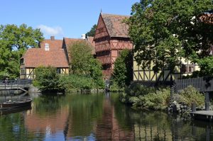
In Aarhus you may stop to visit some of the attractions in the city.

From Aarhus to Skanderborg E1 passes lowland areas with lakes and rivers.
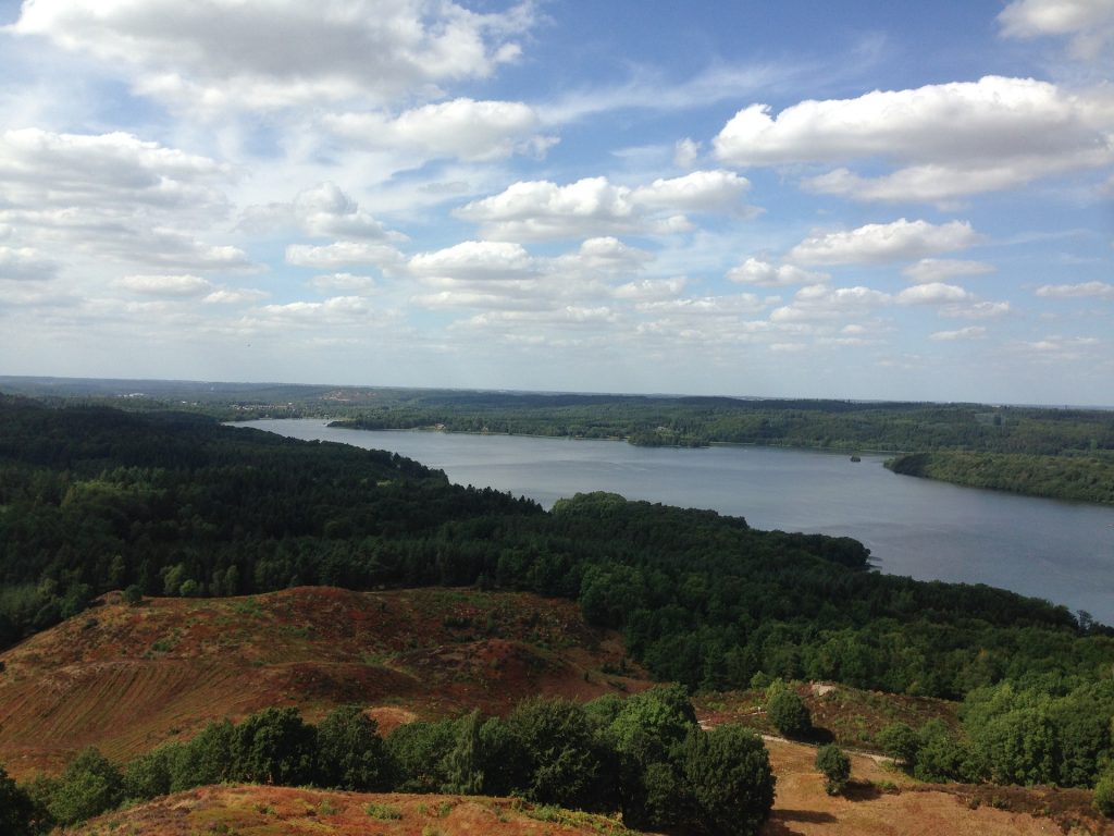
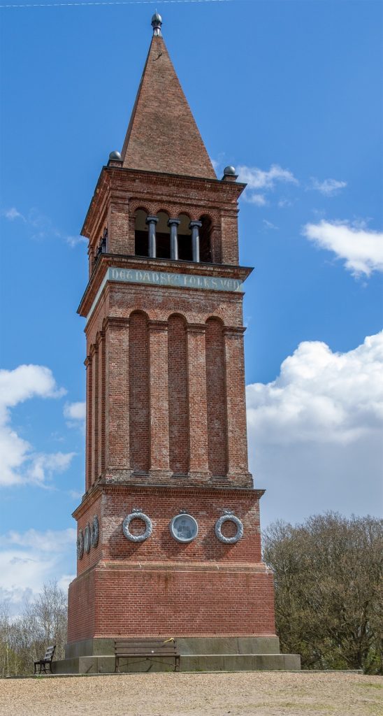
West of Skanderborg E1 approaches the ridge of Jutland, which goes from north to south. Here you will also find the “mountain” Himmelbjerget with some beautiful sights over Juelsø.


From Virklund the E1 follows the ridge southwards through attractive nature.
South of Them the E1 merges with the trail Hærvejen (Oxenweg) and follows this to Kruså.
In Jelling you must visit the monument of King Gorm the old, one of the first kings and the Jelling Runestones.
Starting Point
End Point
Which cities and towns does the E-path pass
Rønde, Aarhus, Skanderborg, Ry, Virklund, Them, Vrads, Nørre Snede, Jelling, Bække, Vejen, Jels, Vojens, Rødekro, Kliplev.
Length
378 km
Ground path of the E-path
From Grenå to Aarhus the E1 follows Molsruten.
From Aarhus to Virklund the E1 follows the trail Vandreruten Aarhus – Silkeborg
From Virklund to Vrads the E1 follows the trail Bryrupbanestien
From Vrads to Kruså the E1 follows the trail Hærvejen.
Responsible organisation
Dansk Vandrelaug www.dvl.dk
Publications
See the link Hærvejen below.
Maps
See the link Hærvejen below.
Marking system
E1 is not marked as E1. Follow the waymarking of the trails, that E1 passes.
Crossing other E-paths
E1 does not pass other E-paths, except in Kruså where E1 meets E6.
Practical
Accomodation
You may find many ways to accommodate:
- Hotels and B&B: find them here or here.
- Hostels: use Danhostels
- Camping: find the campsites here.
- Primitive camping: it is only allowed to set up your tent at campsites or at appointed free places. See more here.
Food
Food can be bought at supermarkets or shops in most towns. Use Google map to find them.
Travel
Trains are covering most of the country. There are train stations at Grenå, Aarhus, Skanderborg, Jelling and Vejen. See link below.
Buses cover the entire country. You may find bus stops at Google maps.
Gear
No specific gear is needed, as the trails in Denmark are easy accessible.
Links
References
E-paths at Danish Ramblers Association website

 Walk for unity & wellness!


